

India, also known as Bharat, is a vast and diverse nation with a rich geographical and cultural heritage. Bharat Naksha (India’s map) serves as an essential tool for understanding the country’s physical features, political boundaries, and administrative divisions. Maps are crucial for education, research, travel, and governance, helping people visualize the nation’s landscape and structure.
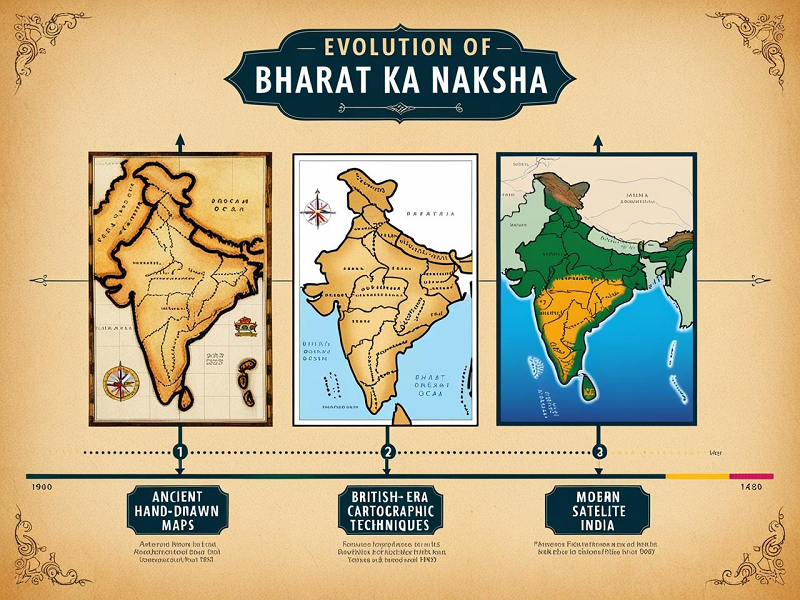
Over the centuries, the Bharat ka naksha has evolved from hand-drawn sketches to highly advanced satellite-based digital maps. Today, they provide detailed insights into India’s topography, cities, and natural resources. This article explores the historical development of Bharat Naksha, its different types, significance in Hindi, drawing techniques, and its role in education.
Bharat Naksha – A Historical Overview
The Bharat ka naksha has undergone significant transformations over the centuries. Ancient Indian scholars, including those from the Maurya and Gupta periods, attempted to map the subcontinent using rudimentary methods. Texts like the Arthashastra mention early geographical depictions of India.
During the medieval period, travelers like Al-Biruni documented India’s geography based on their observations. However, cartography significantly improved during the British colonial era when the Great Trigonometrical Survey of India was conducted in the 19th century. This survey laid the foundation for accurate mapping of India’s political and physical boundaries.
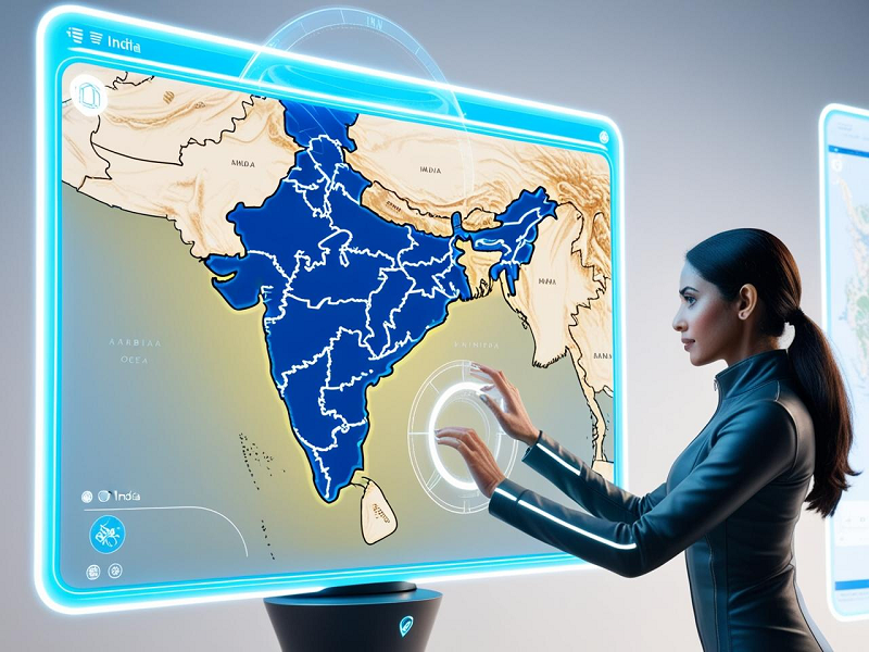
With advancements in technology, modern mapping techniques now use satellite imagery, Geographic Information Systems (GIS), and GPS technology to create interactive and highly precise digital maps. Today, Bharat naksha image is available online, allowing easy access to India’s geography for education, research, and planning purposes.
Bharat Ka Naksha – Political and Physical Features
Political Map of India (Bharat Naksha)
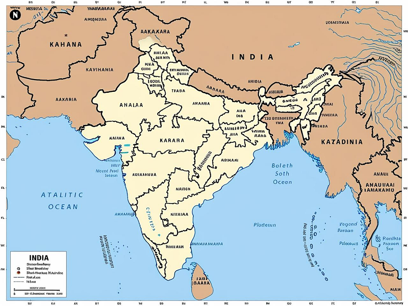
The political map of India represents the country’s administrative divisions, consisting of 28 states and 8 union territories. Each state has a distinct boundary, capital, and governance structure.
Key divisions of the political map include:
- Northern States: Uttar Pradesh, Punjab, Himachal Pradesh, etc.
- Southern States: Tamil Nadu, Karnataka, Kerala, etc.
- Eastern & Western States: West Bengal, Maharashtra, Rajasthan, etc.
- Union Territories: Delhi, Chandigarh, Ladakh, Andaman & Nicobar Islands, etc.
Physical Map of India (Bharat Naksha)
The physical map of India highlights the country’s natural features, including mountains, rivers, plateaus, and plains.
Key features of the physical map:
- Himalayan Mountains: Marking the northern boundary.
- Indo-Gangetic Plains: A fertile region covering Punjab, Uttar Pradesh, and Bihar.
- Deccan Plateau: Spread across Maharashtra, Karnataka, and Telangana.
- Major Rivers: Ganga, Yamuna, Brahmaputra, and Godavari.
- Coastal Regions: Shorelines along the Arabian Sea and Bay of Bengal.
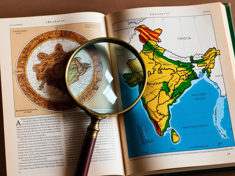
For a clearer understanding, a Bharat ka naksha photo can be referred to for a detailed visualization of these features.
Bharat Naksha in Hindi – Understanding Maps in Regional Context
For many Indians, Bharat ka naksha Hindi mein is more accessible than English maps. Hindi maps help students, researchers, and travelers understand India’s geography without language barriers.
The significance of Hindi maps:
- Educational Use: Hindi maps are widely used in schools, especially in rural areas.
- Government Documents: Many government agencies provide maps in Hindi for local governance and planning.
- Tourism & Travel: Hindi maps help tourists navigate different states and cities more efficiently.
With digital advancements, many websites now offer Bharat ka naksha in Hindi, making geographical knowledge more accessible to the masses.
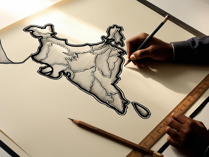
Bharat Ka Naksha Drawing – How to Draw India’s Map
Creating an accurate Bharat desh ka naksha is a valuable skill for students, geographers, and artists. Follow this simple step-by-step process:
- Sketch the Outline: Start with a rough rectangle and shape India’s outline.
- Mark the Borders: Add state and union territory boundaries.
- Include Key Geographical Features: Draw mountains, rivers, and plateaus.
- Label Important Locations: Mark capitals, major cities, and landmarks.
- Use Colors for Clarity: Differentiate between states and geographical zones.
Practicing Bharat naksha drawing enhances geographical understanding and artistic precision.
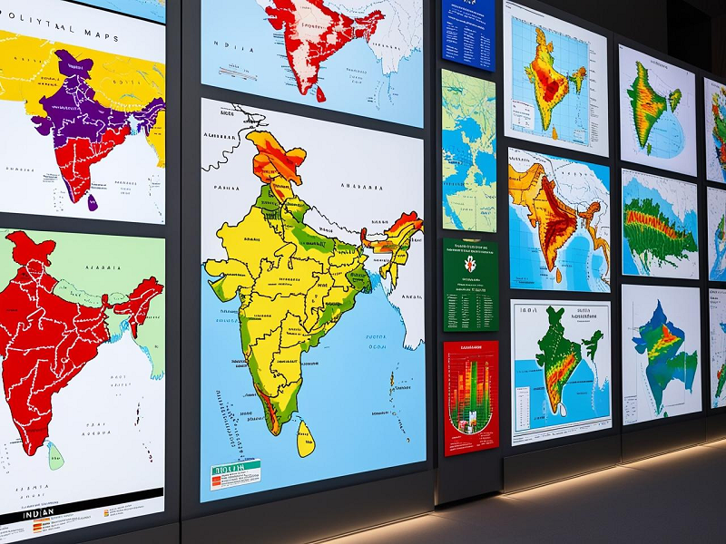
Bharat Naksha Image & Photo – Visual Representation
Visual representations like Bharat naksha image and Bharat naksha photo are widely used for various purposes:
- Education: School textbooks and geography classes use detailed maps.
- Navigation: Travelers rely on digital maps for easy location tracking.
- Urban Planning: Government agencies utilize maps for infrastructure development.
High-quality Bharat ka naksha ka photo is available on official government websites, atlases, and digital platforms like Google Maps.
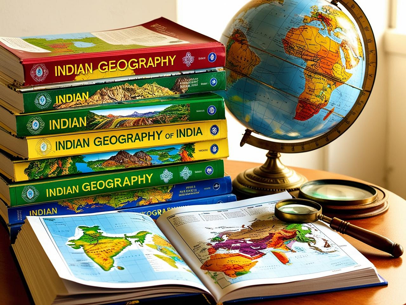
Bharat Ka Naksha and Its Role in Geography & Education
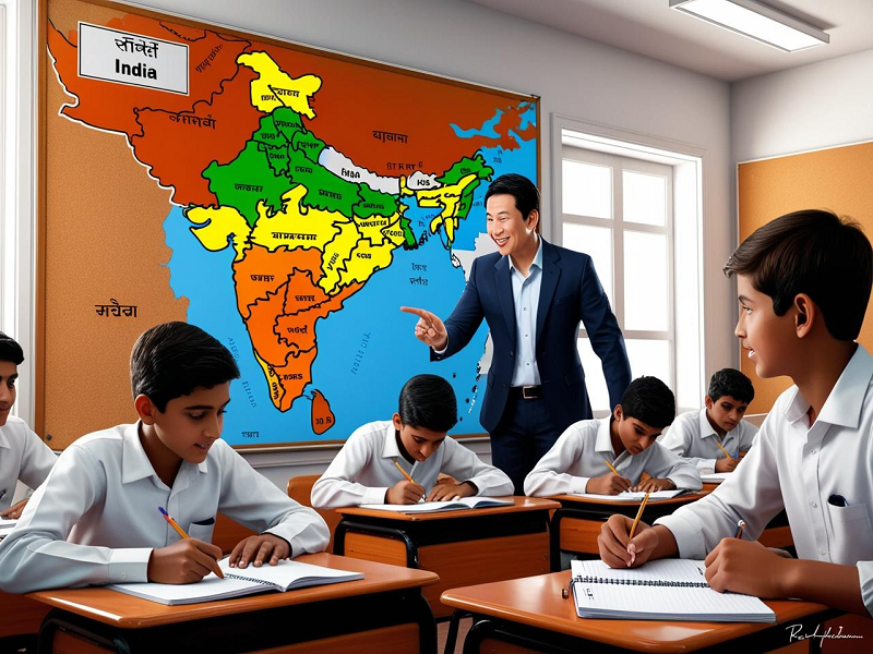
Maps play a crucial role in geography and education by helping students, researchers, and professionals understand India’s political and physical divisions.
Importance of Bharat naksha in education:
- School Curriculum: Students learn about India’s geography through maps in textbooks.
- Competitive Exams: Maps are essential for UPSC, SSC, and other state-level exams.
- Research & Development: Used by geographers, urban planners, and environmentalists for studies and planning.
The availability of digital maps and interactive tools has revolutionized geographical education, making it more engaging and accessible.
Final Thought
In conclusion, Bharat-naksha is an indispensable tool for understanding India’s geography, history, and administrative divisions. From ancient cartography to modern digital mapping, the evolution of India’s maps has played a vital role in education, governance, and exploration.
With technological advancements, maps have become more interactive and precise, offering real-time data for research and navigation. Whether in Hindi or English, paper-based or digital, Bharat ka naksha remains an essential resource for students, travelers, and professionals alike.
For more information, visit Bharat Inforamtion